INS Darshak Completes Hydrographic Survey in Mauritius
INS Darshak Completes Hydrographic Survey in Mauritius
A ceremonial fair-sheet depicting hydrographic surveys undertaken by INS Darshak in Mauritius, was presented to the Hon’ble Mr Seetanah Lutchmeenaraidoo, Minister of Foreign Affairs, Regional Integration and International Trade of Mauritius on 03 January 17 by His Excellency Shri Abhay Thakur, the High Commissioner, accompanied by Captain Peush Pawsey Commanding Officer, INS Darshak.
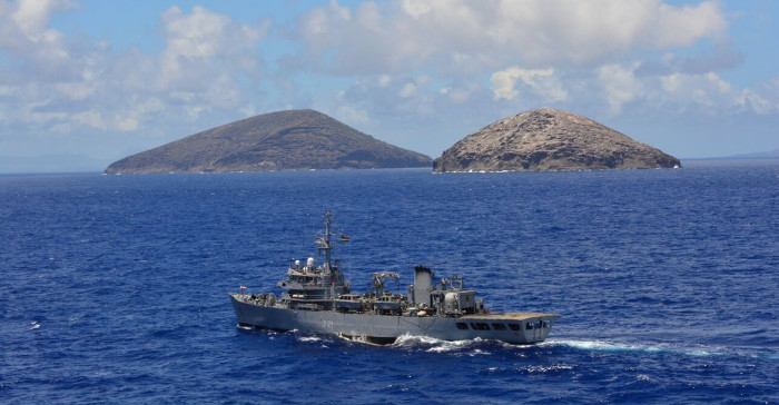
INS Darshak was deployed for Joint Hydrographic Survey from 03 December 16 to 03 January 17 with the objective of preparing and publishing two new charts of Mauritian waters as per enhanced charting scheme agreed between India and Mauritius. The resultant products will be a significant step towards enhancing the level of navigational safety for merchant ships visiting Mauritius as they will replace vintage 19th century data around the island of Mauritius. The surveys will be also be extremely useful for tourism industry based in northern Mauritius as areas of Mon Choisy, Grand Bay and all small islands in the north have been surveyed in a comprehensive manner. Furthermore, data has been collected for aquaculture site off Anse La Raie and deep sea transacts for scientific research at the request of the Mauritian Oceanographic Institute; and for Deep Ocean Water Application Projects at the request of Continental Shelf Department of the Prime Minister’s Office.
Officials of Government of Mauritius from various organizations related to ocean matters participated in the above survey and benefited from the training during ship’s three sea sorties. INS Darshak will also carry out Outer Island Support for St. Brandon and Agalega Islands during its return passage to India.